Cloud types / Cirrocumulus
Cirrocumulus · Cc
| Cloud level | High |
| Altitude | Base roughly 5-13 km |
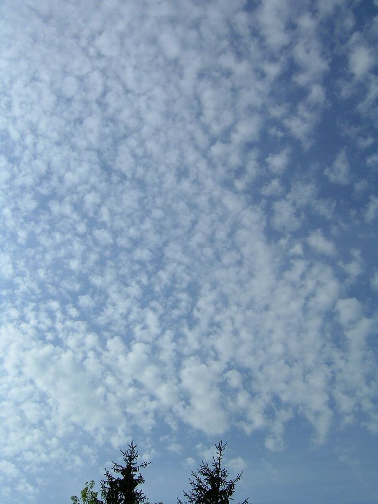
Cirrocumulus clouds present a thin, white sheet or patchy layer composed of tiny, grain-like ripples or globular cloudlets without gray shading. Forming high in the troposphere from ice crystals or supercooled droplets, these clouds create striking patterns often termed a mackerel sky. Their appearance is relatively rare and fleeting, marking upper-level atmospheric instability and waves, often acting as a delicate sign that local weather conditions may soon turn unsettled.
How it forms
Cirrocumulus develops when a thin high-altitude layer undergoes shallow convective overturning or wave motion in cold, unstable air aloft. Water vapor sublimates into ice crystals, or supercooled water droplets freeze, rapidly assembling into ordered rows or arrays of tiny, distinct cloud elements.
Identification keys
- Thin, white patches or sheets without internal shadows
- Composed of very small ripples, grains, or flakes
- Individual cloudlets subtend an apparent width under one degree
- Composed predominantly of ice crystals
- Often arranged in regular ripples resembling fish scales
Typical weather
Cirrocumulus does not produce precipitation reaching the ground. While fair skies can follow isolated patches, a progressive thickening of these high ripples frequently indicates increasing moisture and atmospheric instability ahead of a frontal system.
Often confused with
Photography tip
Frame wide shots during sunrise or golden hour to capture colorful light skimming across the rippled cloud elements.
Questions about this cloud
What is meant by a 'mackerel sky'?
It refers to the rippled, dappled appearance of cirrocumulus clouds that resembles the scales on a mackerel's back.
How can I tell cirrocumulus from altocumulus with my hand?
Hold your arm straight out; individual cirrocumulus elements appear narrower than the width of your pinky finger.
Got a photo like this? Run it through the identifier: